Reconstructing the palaeoenvironmental history of Minoan Zominthos in the Ida-Mountains, Central Crete
The project focused on the reconstruction of palaeoenvironments in the northern Ida Mountains, Central Crete. The study followed the hypothesis, that the region was intensely used and cultivated by Bronze-Age people who created a complex administration due to environmental conditions which were favourable for agriculture and pasture. In contrast to the Mid-Holocene, there are no more permanent settlements or agriculture at this altitude (1200 m a.s.l.) because of climatic disfavor. Thus, it was the aim to investigate the palaeoenvironmental conditions before and after the Bronze-Age, and to reconstruct the palaeo-landscape. The study contributed to the ancient man-environmental interactions on Crete and to the understanding of the Holocene environmental and historical processes in the Eastern Mediterranean.
The environmental change is documented by sediments and soils. These deposits form geoarchives which are located in several basins and sinkholes of the karst landscape. The palaeoenvironmental reconstruction concentrated on sedimentary archives of an extensive plateau at the altitude of 1180 m a.s.l.. The physical and geochemical sediment-analyses of the deposits and their dating is crucial for the documentation of the geomorphodynamics with periods of high and low sedimentation- / erosion-rates, as well as the magnitude and frequency of human impacts. A comprehensive set of modern geoscientific methods was used in order to find best drilling positions and to sample the geo-archives. Among others, refraction seismics, earth resistivity tomography and various drilling technologies were applied. Sediments and soil samples were analysed geochemically and mineralogically, while radiocarbondating, x-ray diffractometry and OSL-dating supported the studies. Finally, the results were visualized with GIS-software as a virtual digital landscape, which enabled to present the data in a vivid and multi-temporal way.
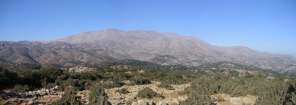
Some impressions from the study area and its surroundings can be found here. Moreover, the following documentary [in German] about the Minoan settlement of Zominthos also focuses on the reconstruction of its palaeoenvironmental evolution based on a multi-method research design including GIS, satellite remote sensing and 3D visualization software [details starting at 00:04:50. original broadcast and copyright by Campus TV 2009].
